
Maps
Whether you’re looking for maps of the village, hiking, or biking trails, you’ll find all the maps you need right here.
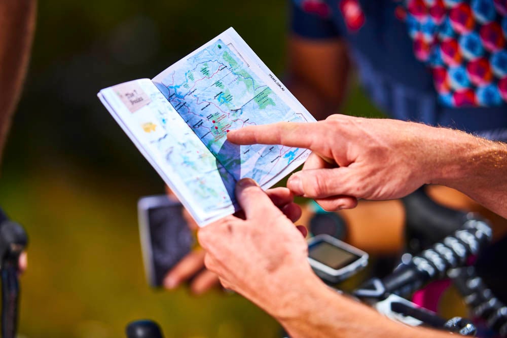
Day Trips
Explore the unique alpine environment in a day at Mt Buller. Explore the mountain on the hiking or biking trails, or enjoy time in the Village.
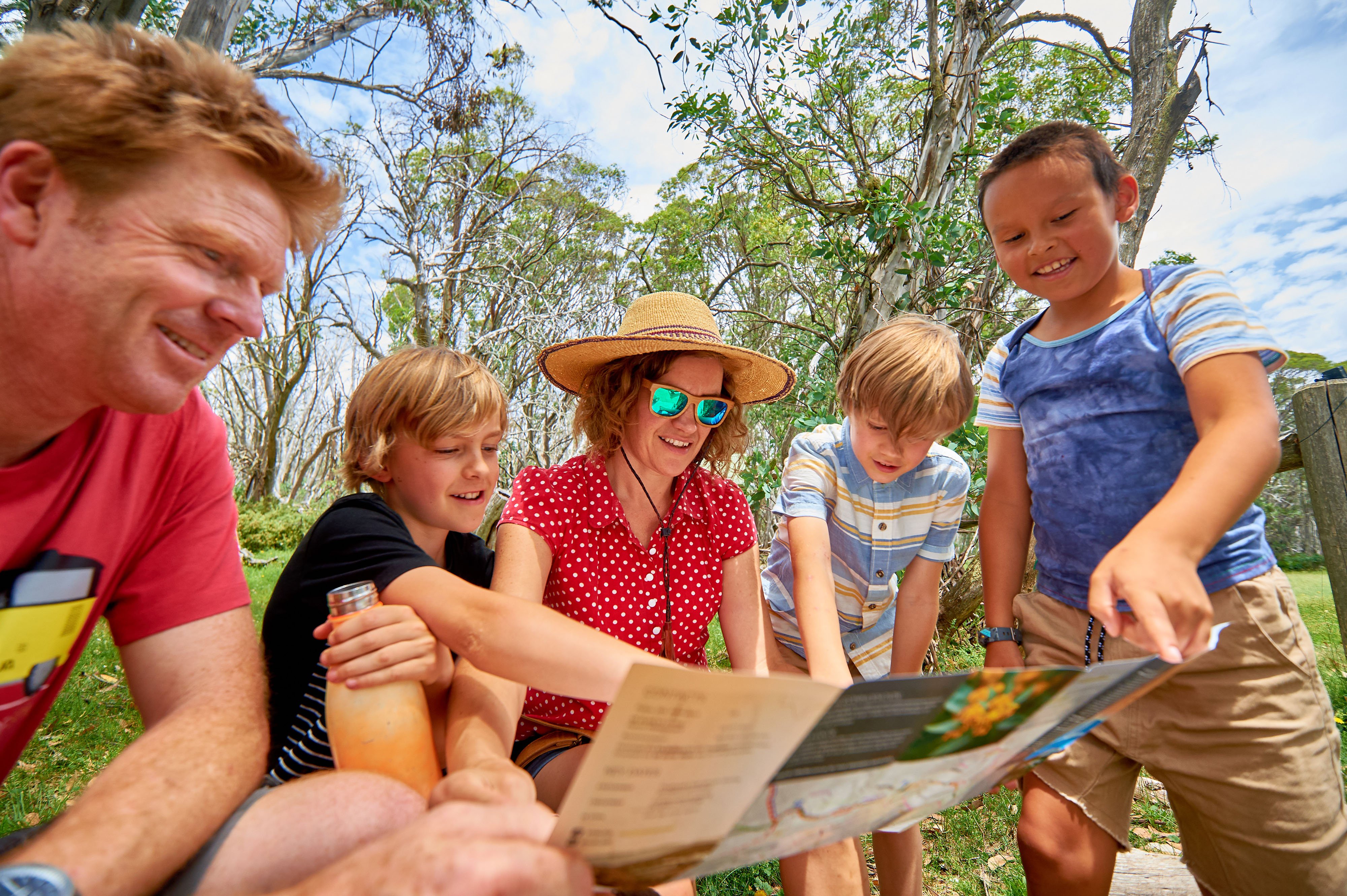
Staying Overnight
When staying overnight, there is plenty of on-mountain accommodation at Mt Buller, or in the valley and surrounds, to keep you cosy and comfortable.
How to get here
Only 3 hours from Melbourne, there are a range of travel options to get you here.

Bike
Mt Buller offers the ideal biking escape, no matter what you’re into!
.jpg?width=1620&height=1080&name=Mind%20Body%20Bike%202022%20(74).jpg)
Walk & Hike
There's no better way to unlock the secrets of the High Country than on your own two feet.
.jpg?width=5472&height=3648&name=Walking%20Buller%20(11).jpg)
Activities for everyone
Magnificent views, fresh mountain air and a cool summer climate to provide the ideal setting to enjoy a wide range of alpine activities.
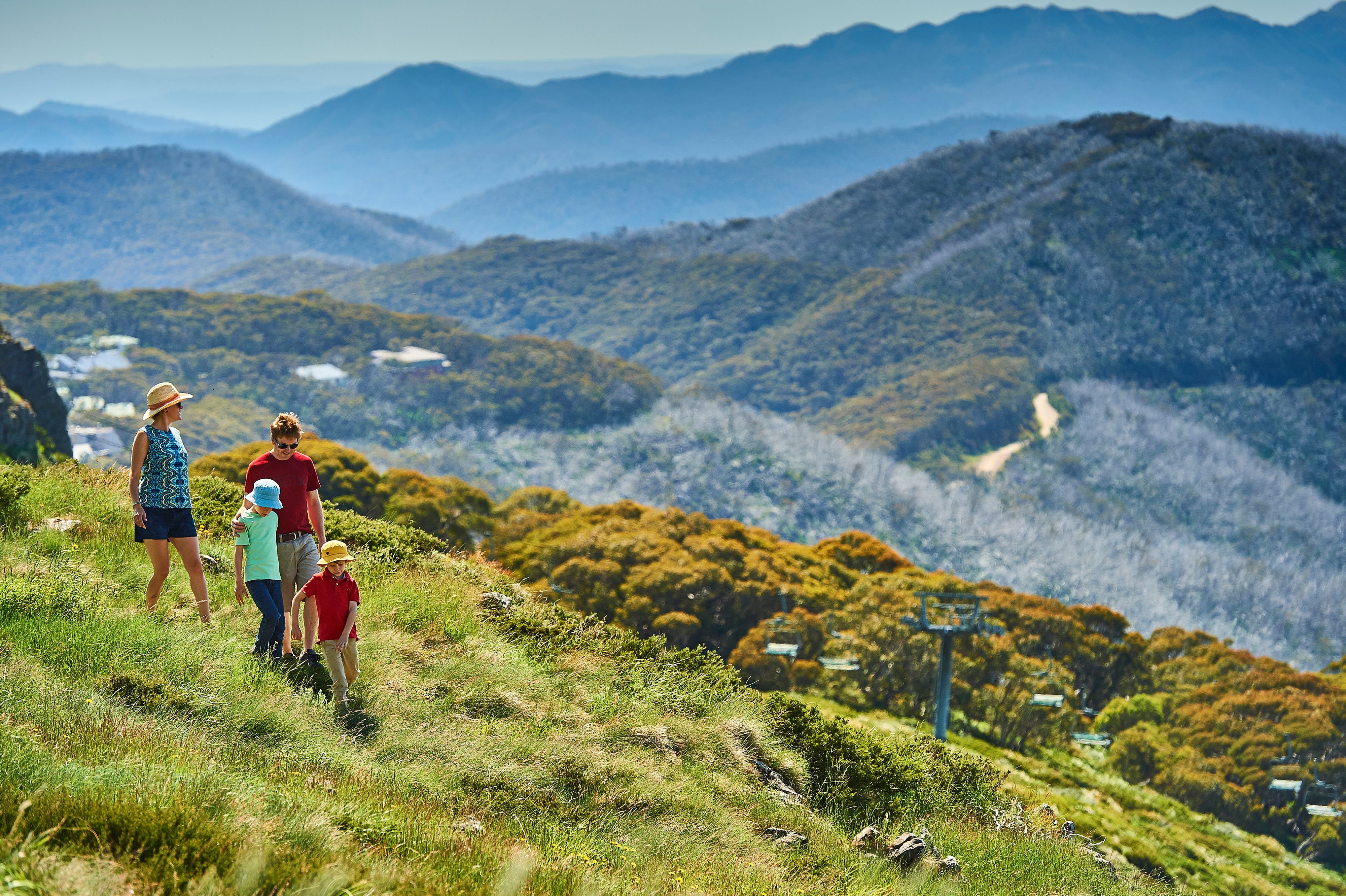
Activities in the Region
There's so much more to discover. Explore Mt Buller & surroundings.
YOU MIGHT ALSO LIKE
Eat & Drink
The mountain air drives a good appetite, so stop and enjoy a bite at one of our eateries with everything from coffee and cake to a full pub meal.
.jpg?width=5000&height=3333&name=Summer%20Opening%20Weekend%202021_22%20(34).jpg)
Rental & Retail
Grab what you need. Treat yourself to what you want. Take advantage of our rental and retail services to keep you riding in comfort or indulge in a bit of retail therapy during your visit.


Maps
Whether you’re looking for maps of the village, hiking, or biking trails, you’ll find all the maps you need right here.

Day Trips
Explore the unique alpine environment in a day at Mt Buller. Explore the mountain on the hiking or biking trails, or enjoy time in the Village.

Staying Overnight
When staying overnight, there is plenty of on-mountain accommodation at Mt Buller, or in the valley and surrounds, to keep you cosy and comfortable.

How to get here
Only 3 hours from Melbourne, there are a range of travel options to get you here.
.jpg?width=1620&height=1080&name=Mind%20Body%20Bike%202022%20(74).jpg)
Bike
Mt Buller offers the ideal biking escape, no matter what you’re into!
.jpg?width=5472&height=3648&name=Walking%20Buller%20(11).jpg)
Walk & Hike
There's no better way to unlock the secrets of the High Country than on your own two feet.

Activities for everyone
Magnificent views, fresh mountain air and a cool summer climate to provide the ideal setting to enjoy a wide range of alpine activities.

Activities in the Region
There's so much more to discover. Explore Mt Buller & surroundings.
YOU MIGHT ALSO LIKE
Eat & Drink
The mountain air drives a good appetite, so stop and enjoy a bite at one of our eateries with everything from coffee and cake to a full pub meal.
.jpg?width=5000&height=3333&name=Summer%20Opening%20Weekend%202021_22%20(34).jpg)
Rental & Retail
Grab what you need. Treat yourself to what you want. Take advantage of our rental and retail services to keep you riding in comfort or indulge in a bit of retail therapy during your visit.

-
Close ✕
-
Today
Feels likeWind➤17km/hGusts: km/hLast updated
Wheel Chains on
Wheel chains required throughout the entire winter season.
-
Status Trail Conditions Length
● -
Last updated 01 October 2024 12:00PM
This journey takes riders through a variety of environments, and trail experiences. It utililises familiar favourites including Soul Revival, One Tree Hill, Gang Gangs, Picnic Trail, Cornhill Trail, Woolybutt and Stonefly (ascent). The experience gets a little more wild, as the trail continues through Mt Stirling to Telephone Box Junction, Razorback Trail, and deep into the forest to then thrill the rider with an endless descent flowing down to Carter’s Road. From there, a scenic river-side stint will bring you back to leafy Mirimbah Park at the base of Mt Buller and Mt Stirling Resorts. Please note: you will come across a cattle containment gate at Mt No 3 Rd - proceed through this gate (please open and close it), to continue on the EPIC trail.
Accumulated elevation ascent: 1,245m
Accumulated elevation descent: 2,187m
Highest point: 1650m (the top of Stonefly ascent at 11.6km into the ride)
Lowest point: 573m (the entry to the new Carters Rd/River section at 35.5km into the ride)
Longest descent: 8km - section off Pinnacle Track (1260m) to Carter’s Road (573m), this is a total elevation descent of 687m.
Elevation profile (click to enlarge)
Tags

Forget the stuff, give ‘wow!’ moments this Christmas
Swap the gift wrap for extraordinary memories
19/12/2024

Full Send at the GWM National Championships
Big lines and fast times at the MTB Nationals
17/03/2025

Ready to fight fire with snowmaking
Mt Buller is fire ready using snowmaking this summer.
11/12/2024


