Chairlift open for summer
A Mountain of Moments all year round
Want to know how to lock in a saving on peak season snow days, now? Check out the 6 DAY ANY DAY pass before 31 May 2025.
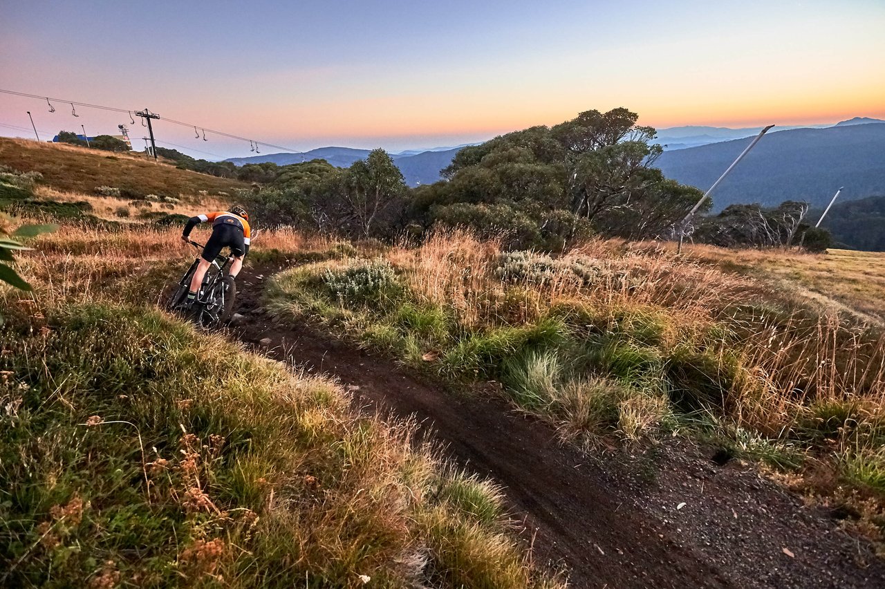
MOUNTAIN BIKING AND SIGHTSEEING
All liftsSummer Chairlift
| Status | Lift | Type | Duration | Length | Hours | Interested |
|---|---|---|---|---|---|---|
| Standby | Northside Express |
Quad
|
7 mins |
1270m
|
10:00 - 4:00 |
What's On
View Allhappening on the hill
20/02/2026 12:00:00 AM
20 Feb 2026
Road Opening Times for Planning Your Trip up the Mountain This Weekend...
Due to...
Read more
11/02/2026 12:00:00 AM
11 Feb 2026
Coffee Garage is now OPEN weekdays!
We’re back! Stop by and say hello Monday to...
Read more
18/01/2026 5:00:00 PM
18 Jan 2026
Eat And Drink
View AllOPEN THIS WEEK

Merrijig Motor Inn
Off-mountain accommodation, bistro, beer garden & general store
Off-mountain accommodation, bistro, beer garden & general store
Mirimbah Store
Stop into this cozy cafe located at the entrance of Mt Buller and Mt Stirling Resorts.
Stop into this cozy cafe located at the entrance of Mt Buller and Mt Stirling Resorts.
Arlberg - The Front Bar
The Front Bar is the perfect spot to meet up with friends.
The Front Bar is the perfect spot to meet up with friends.
Activities
View AllFor Families
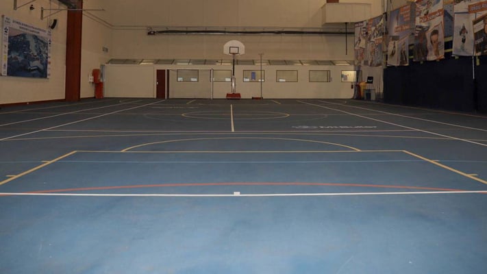
Indoor Sports Hall
Full size Indoor Sports Hall, located on Level 2 of Alpine Central. Suitable for indoor tennis, basketball, soccer, netball and similar activities.
Full size Indoor Sports Hall, located on Level 2 of Alpine Central. Suitable for indoor tennis, basketball, soccer, netball and similar activities.

Snow Play Tours
We take school groups to the snow!
We take school groups to the snow!

4WD & AWD Driving
Discover driving routes with spectacular alpine scenery
Discover driving routes with spectacular alpine scenery


.jpg?width=1620&height=1080&name=Mind%20Body%20Bike%202022%20(74).jpg)
.jpg?width=5472&height=3648&name=Walking%20Buller%20(11).jpg)


.jpg?width=5000&height=3333&name=Summer%20Opening%20Weekend%202021_22%20(34).jpg)


